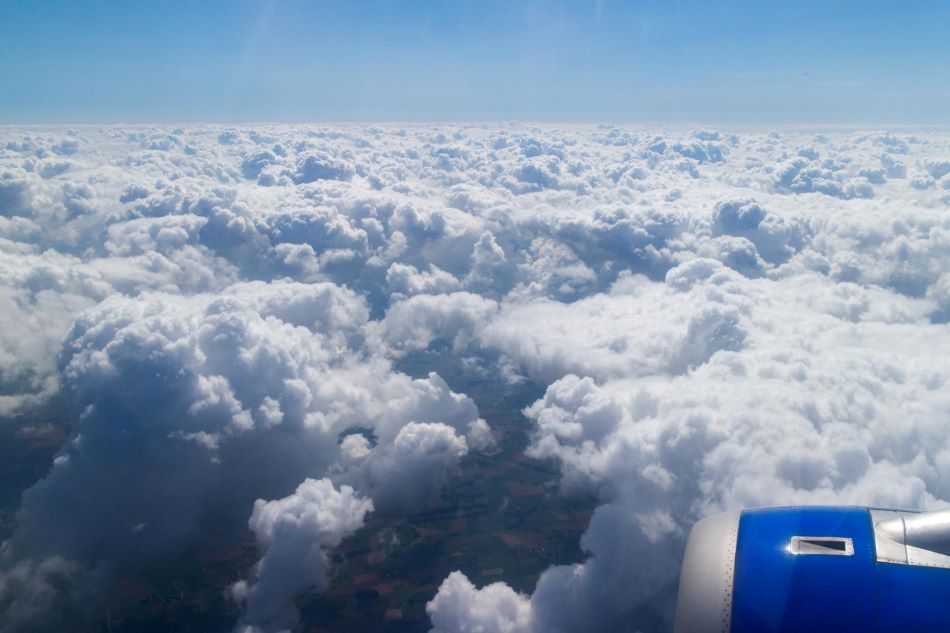
Doppler Radar in Weather Forecasting
Doppler radar is a specialized type of radar system that measures the Doppler effect in forecasting, which is a change in the frequency of a wave (such as light or radio waves) in relation to an observer’s motion. In the context of weather radar, the Doppler effect is used to measure the motion of precipitation particles (such as raindrops, snowflakes, and hailstones) within a storm. Therefore creating a radar map so to speak. Thus an accurate forecast or weather map can be produced. This information is crucial for understanding the behaviour and intensity of weather phenomena.
How Doppler Radar Works
Doppler radar emits radio waves, typically in the microwave frequency range, and these waves travel through the atmosphere. When the radio waves encounter precipitation particles, some of the waves are scattered back to the radar receiver. The radar system analyzes the frequency shift between the emitted waves and the received waves due to the motion of these particles. This frequency shift is a result of the Doppler effect and provides information about the location and direction of the rain movement.
Meaning of Doppler Radar in Weather Forecasting
Doppler radars in weather forecasting help meteorologists gather critical information about the movement and intensity of precipitation within storms. This information is used to track the development, evolution, and trajectory of weather systems, improving the accuracy of weather forecasts and warnings.
Advantages of Doppler Radars in Weather Forecasting
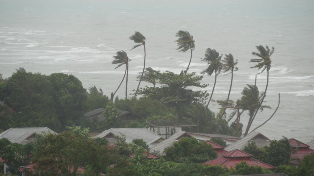
Precipitation Tracking and Intensity: Doppler radar allows meteorologists to track the movement of precipitation usually rain location in the Phuket area and estimate the particles within a storm. By analyzing the Doppler shifts, they can determine the speed and direction of the particles frequently, which helps in forecasting the path and timing of the storm. Additionally, the intensity of precipitation can be estimated based on the radar returns, aiding in predicting heavy rainfall, snowfall rates, and hail size.
Severe Weather Detection: Doppler radars are crucial for detecting and monitoring severe weather phenomena such as tornadoes and thunderstorms. The radar can identify rotational patterns within storms, indicating the potential formation of tornadoes. By analyzing the Doppler shifts and the structure of rainstorm cells, meteorologists can issue timely warnings to communities at risk, allowing people to take necessary precautions.
Wind Shear and Turbulence Detection: Doppler radars can also detect wind shear and turbulence within the atmosphere. Wind shear is a rapid change in wind direction or speed with altitude and is often associated with hazardous flying conditions. By analyzing the Doppler shifts of radar returns, meteorologists and aviation authorities can identify areas of potential turbulence, enhancing flight safety.
In summary, Doppler is a valuable tool in weather radar forecasting that leverages the Doppler effect to measure the motion of precipitation particles within storms. Its advantages include precise tracking of precipitation, detection of severe weather patterns, and identification of wind shear and turbulence, all of which contribute to more accurate and timely weather forecasts and warnings.
What other types of weather radar are used to measure the weather forecasting
Apart from Doppler radar, several other types of radar are used in weather forecasting to gather various types of information about the atmosphere and weather systems.
Some of these radar types include:
Weather Surveillance Radar (WSR): This is the most common type of radar used for weather forecasting. It is also known as NEXRAD (Next Generation Radar) in the United States. WSR provides a comprehensive view of precipitation, including rain, snow, and hail, within a certain range. It is excellent for detecting precipitation patterns and identifying the structure of storms.
Dual-Polarization Radar (DPR): Dual-polarization radar transmits both horizontal and vertical pulses, allowing it to differentiate between different types of precipitation particles. It can distinguish rain from snow, sleet, or hail, providing more accurate precipitation estimates and improving severe weather detection.
Phased Array Radar: This type of radar uses an electronically scanned array of antennas, allowing for rapid and flexible beam steering. Phased array radar can cover a larger area in a shorter time, making it more efficient for weather surveillance and tracking fast-moving storms.
Weather Doppler Lidar: While radar uses radio waves, lidar (Light Detection and Ranging) employs lasers to measure atmospheric conditions, including aerosols, clouds, and winds. Weather Doppler lidar can provide valuable information about wind speed and direction at various altitudes, which is crucial for understanding weather patterns and forecasting.
Cloud Radar: This radar is specifically designed to detect clouds and cloud properties. It provides information about cloud height, thickness, and vertical structure, helping meteorologists understand cloud dynamics and their impact on weather conditions.
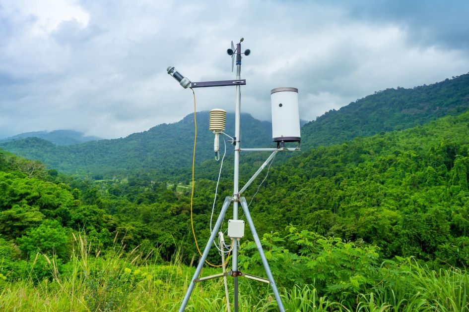
Wind Profilers: Although not strictly weather radar, wind profilers use similar principles to measure the vertical profile of wind speed and direction in the atmosphere. These profiles are especially useful for tracking wind patterns, jet streams, and atmospheric stability.
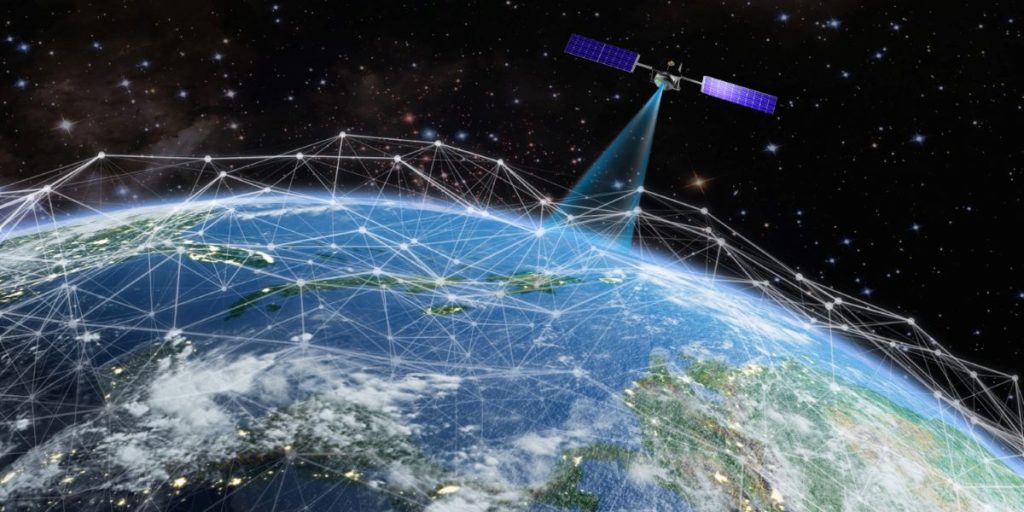
Spaceborne Radars: Some weather information is obtained from radar instruments on satellites. These spaceborne radars gather satellite data and provide a global perspective to many Countries including Thailand and can measure precipitation, cloud cover, and other atmospheric parameters over vast regions.
The combination of these radar types, along with other observational tools like satellites, ground-based instruments, and numerical weather prediction models, contributes to a comprehensive understanding of weather systems, enabling meteorologists to generate accurate weather maps, forecasts and warnings.